|
|
|
|
|
|
 |
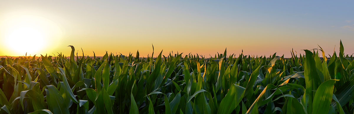
Area Conditions for South Bend, IN |
|
|
| |
|
| |
| Temperature: |
49 oF |
| Feels Like: |
45 oF |
| Humidity: |
69% |
| Barometer: |
30.03 |
| Dew Point: |
39 oF |
| Wind Dir.: |
SE |
| Wind Speed: |
9 mph |
| Sunrise: |
7:47 |
| Sunset: |
7:57 |
| Observation: |
Clear |
|
|
As reported at SOUTH BEND, IN at 12:00 AM
|
|
5-day Forecast for South Bend, IN |
|
|
| Date |
|
Fri
3/20 |
|
Sat
3/21 |
|
Sun
3/22 |
|
Mon
3/23 |
|
Tue
3/24 |
| Weather Condition |
 |
|
 |
|
|
| Weather |
Mostly Cloudy |
Mostly Cloudy |
Rain |
Mostly Cloudy |
Rain |
Temperature (°F)
Low/High |
39/59 |
34/64 |
41/58 |
31/42 |
29/49 |
Feels Like (°F)
Low/High |
33/59 |
30/64 |
33/58 |
22/35 |
24/44 |
| Dew Point (°F) |
41 |
39 |
43 |
28 |
26 |
| Humidity (%) |
72 |
62 |
79 |
57 |
50 |
| Wind Speed (mph) |
11 |
6 |
10 |
12 |
10 |
Precipitation
Chance (%) |
- |
- |
59 |
- |
36 |
Precipitation
Amount (inches)
S=Snow, L=Liquid |
None |
None |
Rain
0.16 |
None |
Rain
0.06 |
Evapo-
transpiration
(inches/day) |
0.1 |
0.11 |
0.07 |
0.08 |
0.1 |
|
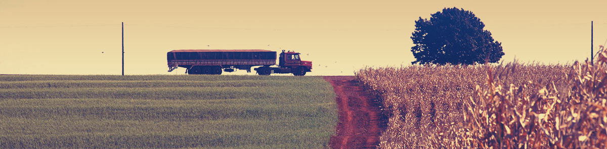
County Forecast for South Bend , IN |
|
|
| | 132000-
St. Joseph IN-
Including the cities of South Bend, Mishawaka, New Carlisle,
and Walkerton
143 PM EDT Tue Sep 13 2022
This afternoon Mostly cloudy. A slight chance of showers early. Highs in the lower 70s. Northwest winds 10 to 15 mph. Chance of rain 20 percent.
Tonight Mostly clear. Lows in the lower 50s. West winds around 5 mph.
Wednesday Sunny. Highs around 80. West winds 5 to 10 mph.
Wednesday night Mostly clear. Lows in the mid 50s. North winds around 5 mph, becoming east around 5 mph after midnight.
Thursday Mostly sunny. Highs in the lower 80s. Southeast winds 5 to 10 mph.
Thursday night Mostly clear. Lows in the upper 50s.
Friday Mostly sunny. Highs in the mid 80s.
Friday night Mostly clear in the evening, then becoming partly cloudy. Lows in the lower 60s.
Saturday Mostly sunny. Highs in the mid 80s.
Saturday night Partly cloudy. Lows in the mid 60s.
Sunday Partly cloudy in the morning, then clearing. A 20 percent chance of showers. Highs in the mid 80s.
Sunday night Mostly clear with a 20 percent chance of showers. Lows in the mid 60s.
Monday Mostly sunny. A slight chance of showers in the morning. Highs in the mid 80s. Chance of rain 20 percent. |
|
Bryce Anderson – DTN Meteorologist
|
| Even Warmer Friday |
» More DTN Weather Commentary |
| Posted at 11:37AM Thu Mar 19, 2026 CDT |
Click here to get your local weather emailed to you each day.
|
|